One of the most complete, or possibly the most complete, records of landownership in England is provided by the surveys undertaken in the mid nineteenth century to assess the ancient system of tithe payments. These surveys include a map of every plot of land in most of the parishes, accompanied by a list showing the owner and occupier of each plot. They are obviously a valuable source of information on landownership at that time.
So, I wanted to find out more about them and I searched Lancashire Archives catalogues for tithe documents for the parishes in our area.
Tithes were a form of taxation to support the Church, in which people paid a tenth of their agricultural produce to the local vicar. This arrangement had probably worked well in an early society which was almost entirely agricultural, and in which barter was normal, but by the late eighteenth century this form of payment had become anachronistic and was widely criticised.

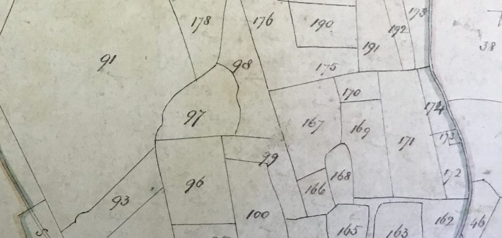
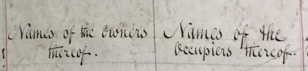
In 1836 the Tithe Commutation Act was passed, which required the system to change to monetary payments. To do that, every plot of land in England and Wales had to be recorded, together with who owned it, who occupied it, its size, and the value of its tithe payment. The survey was divided into individual parishes, and a map was produced for each one, showing all the plots of land it contained.
This Tithe Survey therefore provided a detailed account of the ownership of land at that time, so I searched out the documents and maps for the parishes in our area.
I was surprised to find that Lancaster was the first place in the country to have undertaken a tithe survey, and that it did so more than ten years before the national Act was passed. A Private parliamentary act was passed in 1824, entitled “An Act to commute for a Corn Rent certain Tithes and Dues payable to the Vicar of the Parish of Lancaster in the County of Lancaster.” In 1825 a similar private act was passed for Cockerham parish.
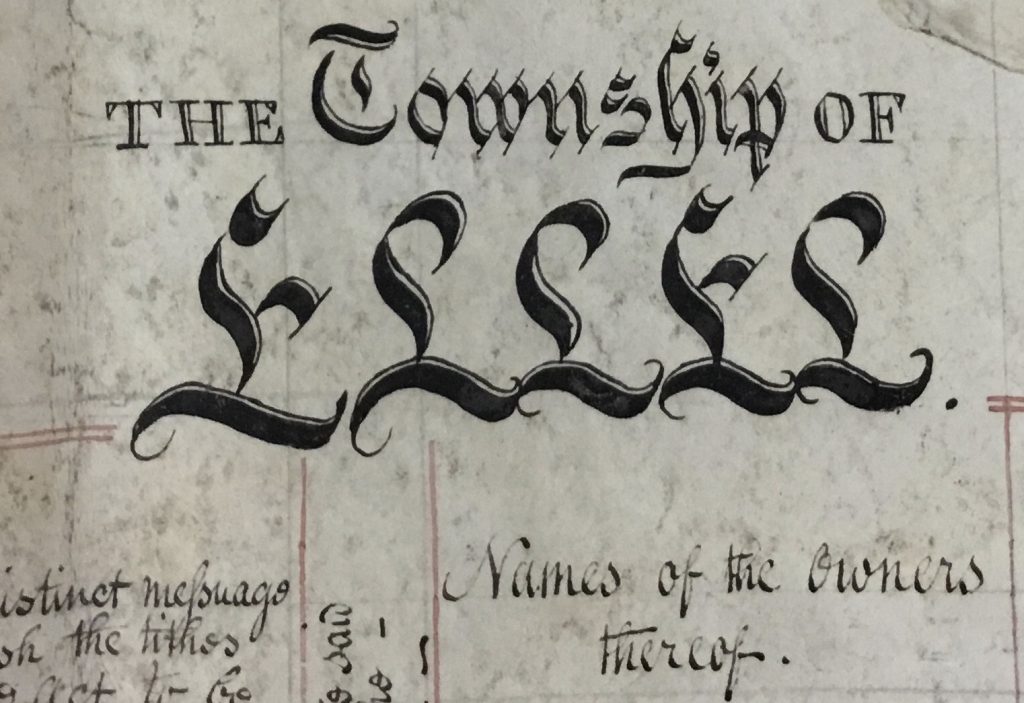
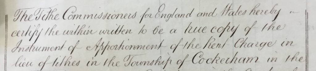
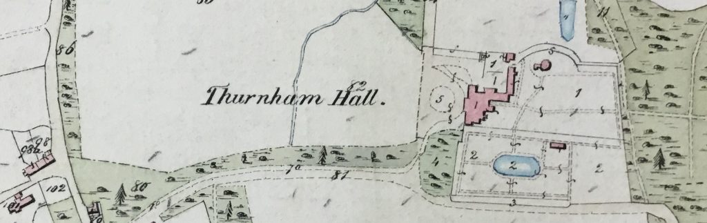
At that time, Lancaster and Cockerham parishes were quite large, and were subdivided into townships. The townships which fall within our geographic slice are Over and Nether Wyersdale (sic), Ellel, Thurnham, and Cockerham itself. Thurnham was in two parts: Thurnham with Glasson in the parish of Lancaster, and Thurnham in the parish of Cockerham.
A second survey was carried out for the townships in both parishes to fulfil the national 1836 Act. So there are two surveys showing details of landownership in the area, made only a decade or two apart in the early 19th century.
I have looked at both surveys for all these townships.The maps vary in quality and preservation across the individual townships.

LANDED(COCKERSAND TO BOWLAND):further research