I am currently researching the present and historical landownership of a rural area of north west England.
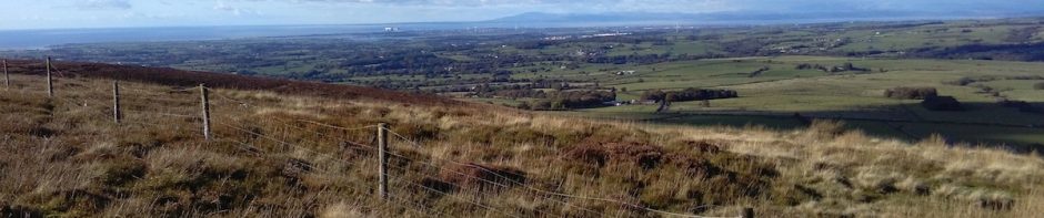
The research is focused on a thin west-east slice of north Lancashire, from the remains of Cockersand Abbey on the coast, to moorland at the Trough of Bowland. This geographic slice includes seacoast with salt marsh tidal flats, farmland which has been reclaimed by sea defences, higher farmland, and moorland, including grouse moors. There are north-south transport routes through it including the Lancaster to Preston canal, the A6 main road, the west coast mainline railway, and the M6 motorway. Maps showing the general location are here.
A pilot research project, entitled Landed (Cadastral Maps) was conducted with artist researchers Rebecca Chesney and Layla Curtis. Cadastral maps are maps of land ownership, and our aim was to work towards creation of layered maps of current and historical ownership, showing change over time.
We investigated and explored the sources and methods required to produce cadastral maps of the area. We gathered information from the Land Registry, various archives, conversations with local people, plus walking and cycling through the area. A description of the pilot project research and results is here. This work was funded by Arts Council England and the Landscape Research Group.
After this pilot project, I did not seek further funding but have continued to research the history of landownership in the selected area independently.